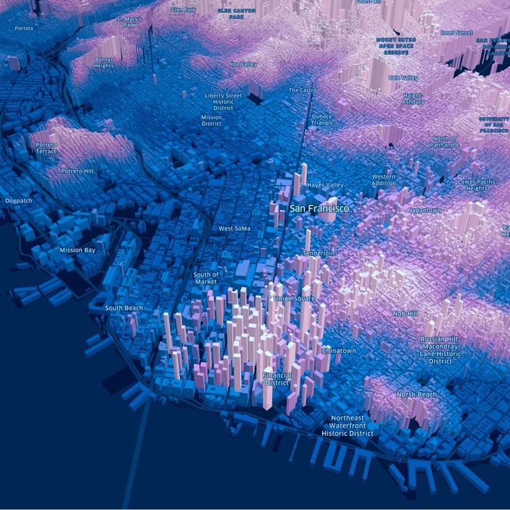
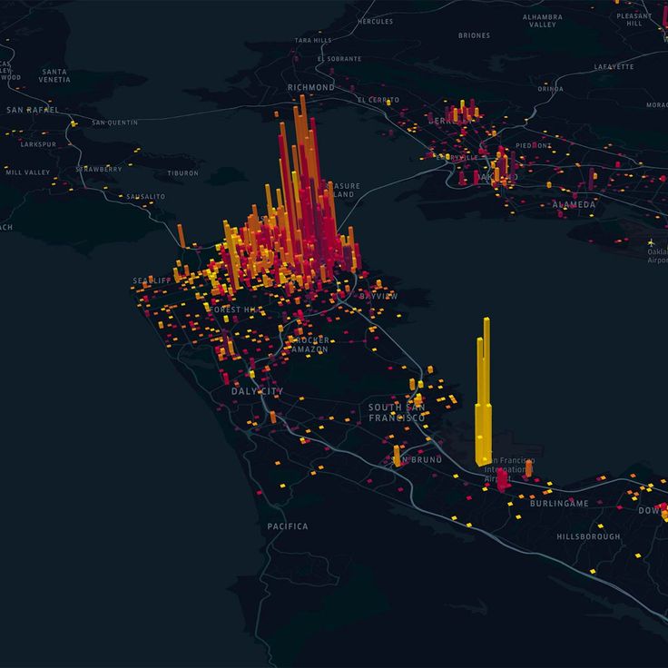
Geospatial technologies utilize GIS, remote sensing, GPS, and mapping methods to collect, analyze, and visualize Earth's spatial data. They are crucial for diverse applications such as urban planning, environmental monitoring, and disaster response.
| Title | Value |
|---|---|
| Course duration(semester) | 4 semester |
| Medium of instruction | German |
| Study mode | Offline |
| Year | Fee |
|---|---|
| Tuition fee / semester fee | 0 |
| Total | 0 |
| Title | Value |
|---|---|
| Language requirement | B2 |
| Minimum required | 75% |
| Course required | Plus two |
Please enter following details!
Please enter following details!

For International Opportunities and free study Opportunities, please Subscribe to Our Channel